Trace Labs Challenge #12
Hey everyone — 404Yeti here, back with another Trace Labs OSINT challenge.
This one is a classic metadata deception exercise, and it’s sneakier than it looks.
We’re given a photo with EXIF data that almost makes sense… but something’s off.
Our job is to identify the true intended location.
Objective
A suspicious image was recovered. Its EXIF metadata contains conflicting location indicators.
Your mission:
Analyze the metadata, resolve the inconsistencies, and determine the real location.
Tools Used
- Base64 Decoder
- Google Search
- Google Maps
- Google Earth
MetaData:
Make: Nikon
Model: Nikon D5600
CreateDate: 2025:10:22 18:44:31
GPS Position: 51°30'26.64" N, 0°07'39.60" W
LocationHint: 51.5074 0.1278
UserComment: Something feels off…
Note: SGVhZCB0byB0aGUgZm9nZ3kgYnJpZGdlLg==
Step 1: Step 1: Identify the Anomaly
The Note field immediately stands out:
SGVhZCB0byB0aGUgZm9nZ3kgYnJpZGdlLg==This doesn’t look like plain text — and Trace Labs loves hiding clues in plain sight.
This string matches the pattern of Base64 encoding.
Step 2: Decode the Base64 Message
We paste the string into a Base64 decoder.

next click decode
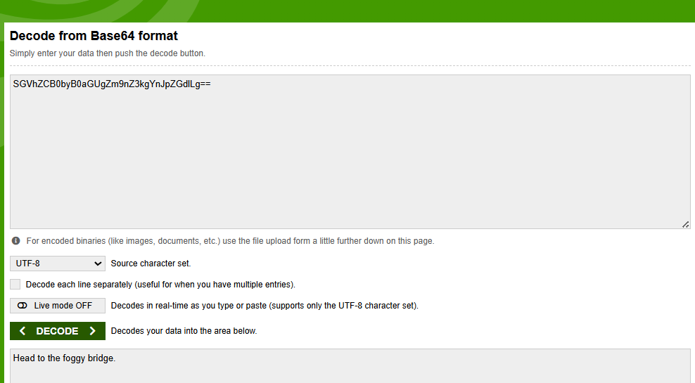
Decoded result:
“Head to the foggy bridge.”
That changes everything.
Step 3: Interpret the Hint (Context > Coordinates)
Now we ask the real OSINT question:
What is commonly known as “the foggy bridge”?
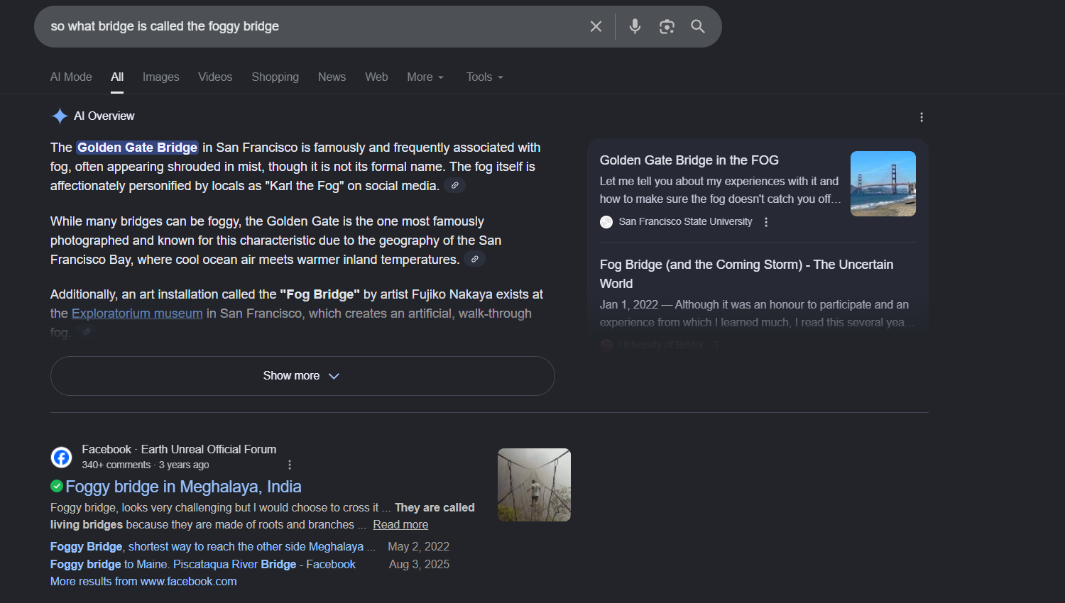
So right away Google comes up with their AI tool, and they say it's called the "Golden Gate Bridge." That is quite interesting to see. but lets scroll down to verify
Repeated results associate:
- Persistent fog
- Iconic bridge
- Coastal microclimate
All signs point to one landmark.
Step 4: Corroborate with Open Sources
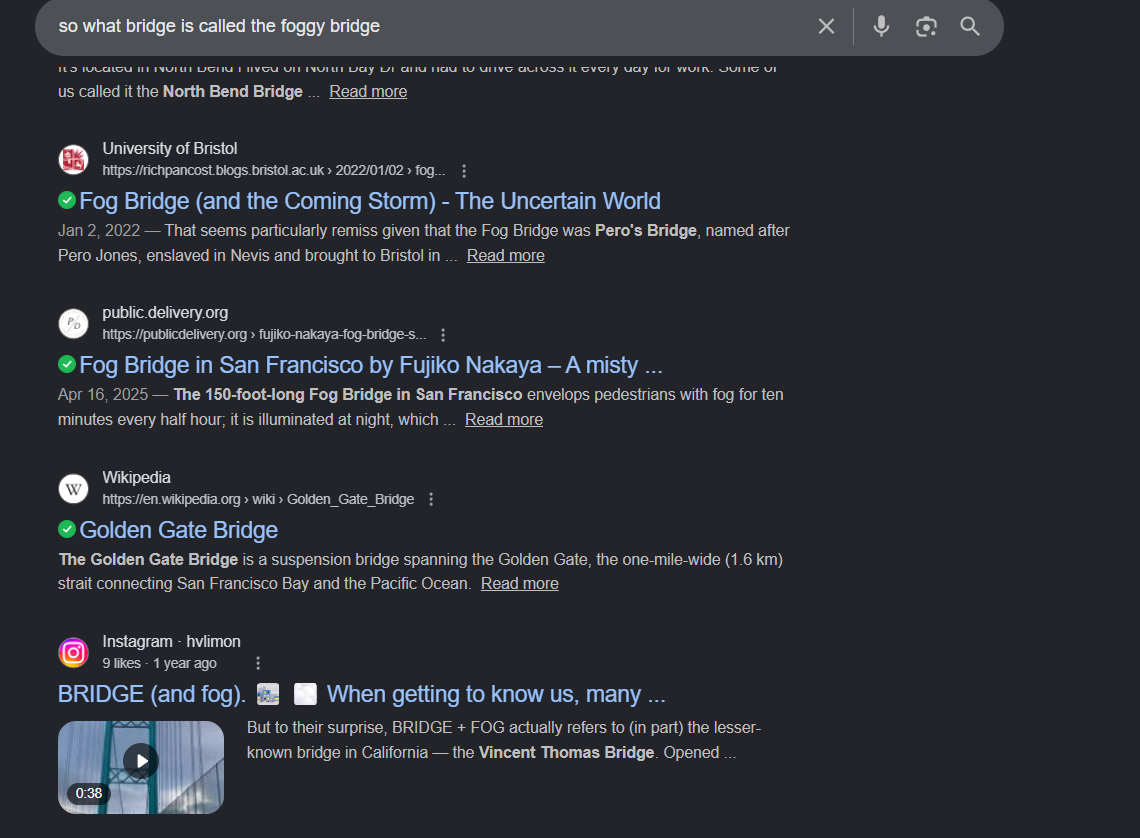
So lets google more about the foggy bridge and why its foggy

Ok so we see quite a bit of literature about it being associated with the fog! So this is a strong
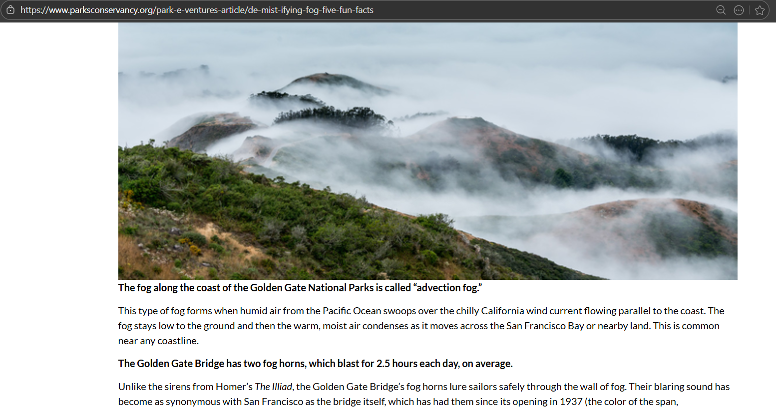
So the government talks a lot about fog and its association with the bridge, so I feel this is a strong confirmation. So I am going to say with confidence that this is the Golden Gate Bridge.
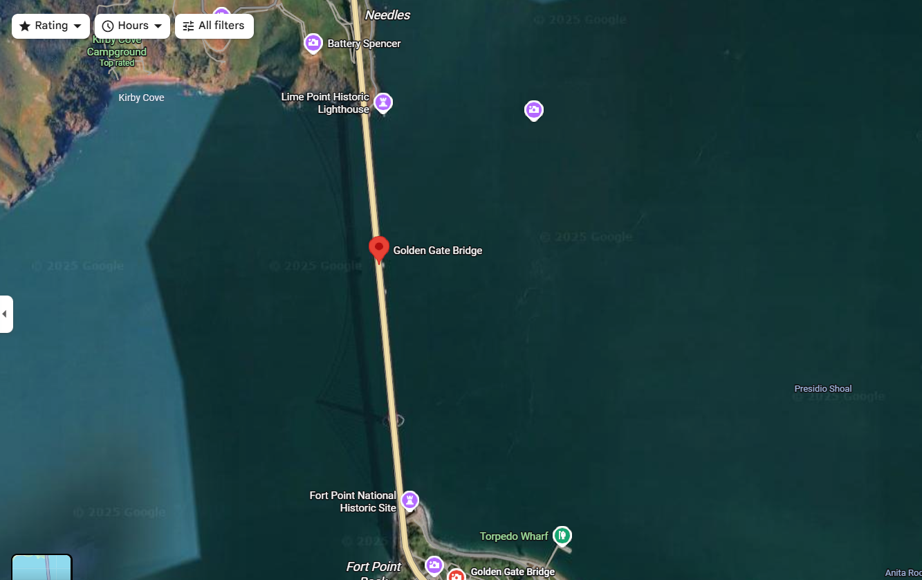
Step 5: Pivot to Google Maps & Earth
We now move from textual OSINT to visual verification.

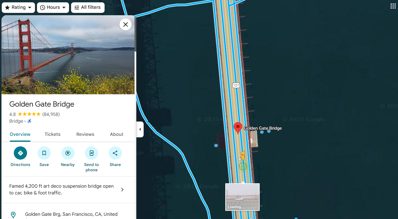
So when you type "Foggy Bridge", San Francisco, it immediately pops up with the Golden Gate Bridge.
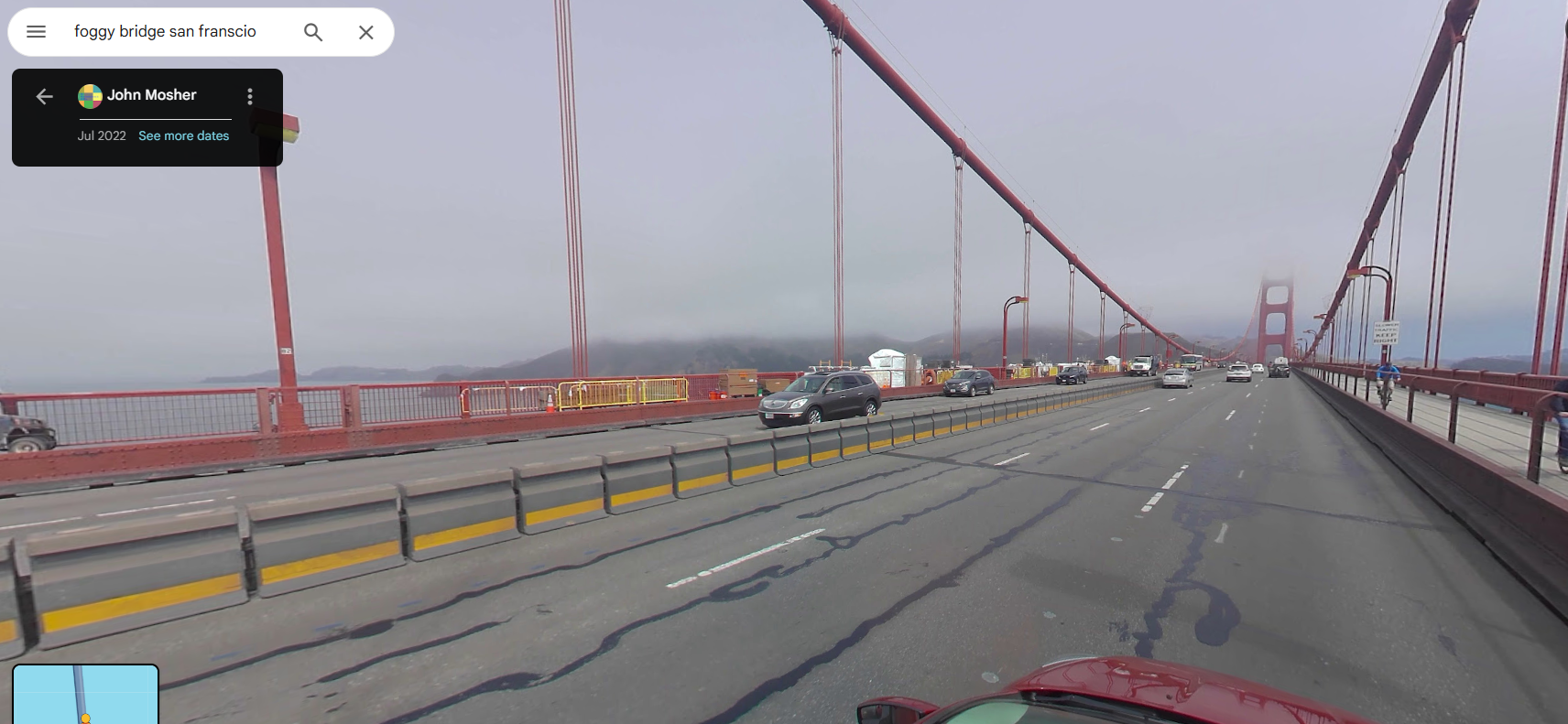
its suggested to drop the hangman for streetview to see the fog
So now in streetview we absolutely see the fog! That is very cool!
Step 6: Capture Coordinates
Right-clicking near the bridge provides approximate coordinates.
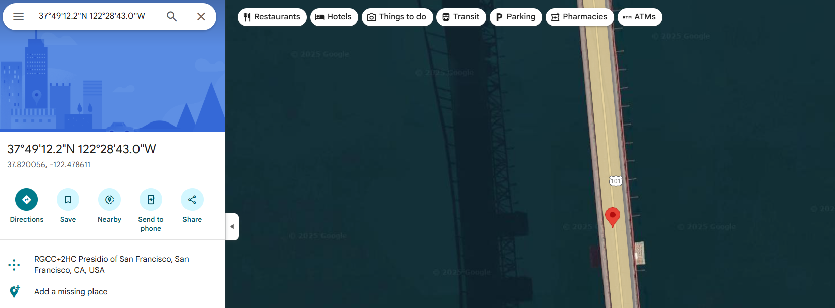
Final Answer: Golden Gate Bridge, San Francisco, California, USA, 37.820046474376085, -122.47860271890526
Why This Matters
This challenge highlights a critical OSINT lesson:
Metadata can lie — context rarely does.
Attackers, pranksters, or adversaries may:
- Plant false GPS data
- Insert decoy coordinates
- Rely on investigators trusting numbers over meaning
Strong OSINT requires:
- Cross-validation
- Semantic analysis
- Cultural and environmental context
Final Thoughts from the Yeti
If you only follow the coordinates, you’ll miss the truth.
If you follow intent, you’ll find it.
Decode everything.
Trust nothing blindly.
Verify always.
Another mystery frozen solid.
404Yeti out. 🐾❄️